
Introduction: Why Dashcams Now Matter to Public Safety
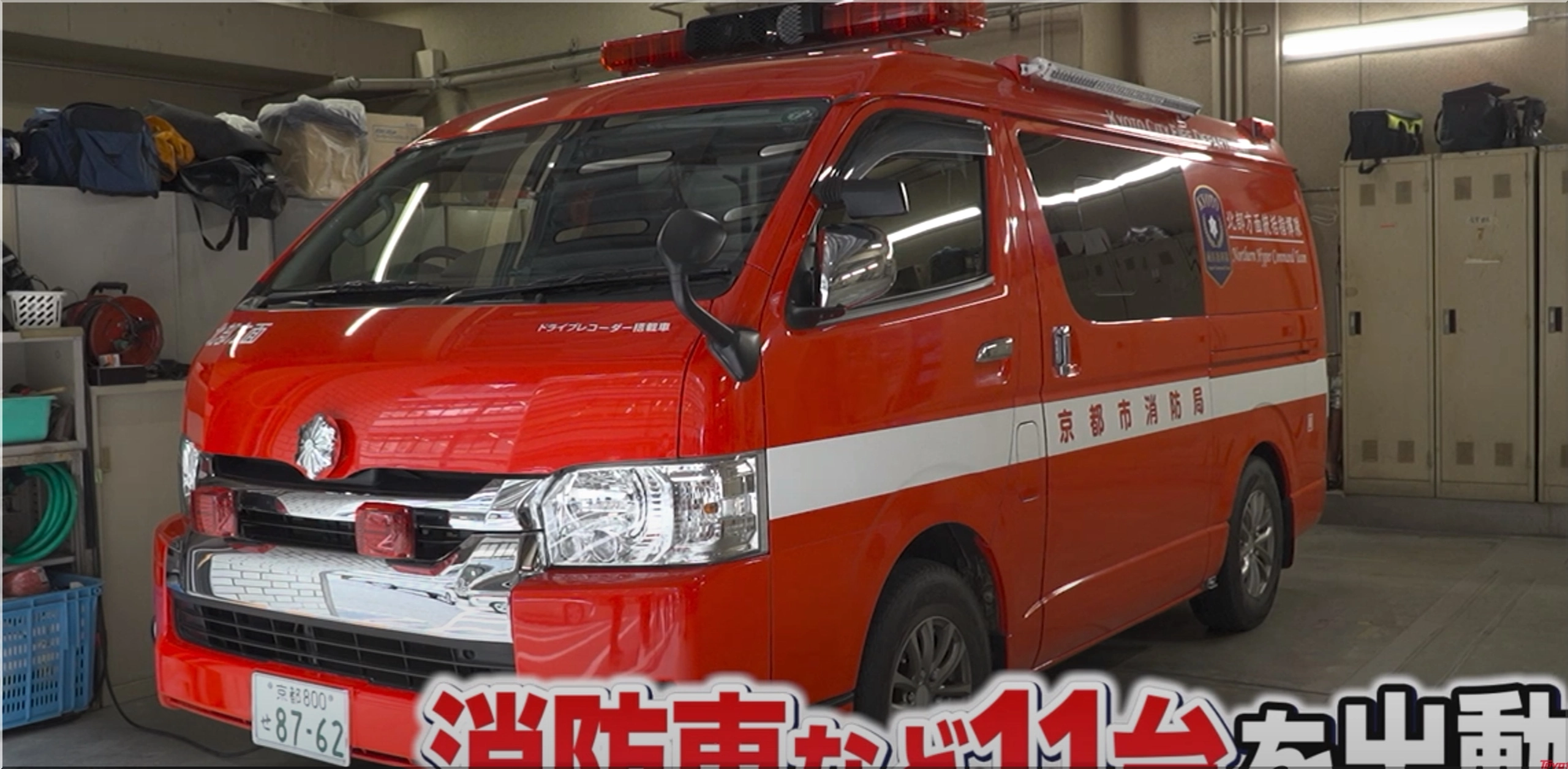
Dashcams are becoming essential tools in municipal emergency response. No longer limited to private drivers or commercial fleets, these compact recording devices now serve a broader purpose—supporting public safety operations. In Japan, the Kyoto City Fire Department has partnered with Toyota to test a dashcam-based situational awareness system. This initiative began as a pilot in Tokyo’s Itabashi Ward and is now expanding to the Kansai region.
This article breaks down how dashcams support firefighting teams, the technology behind the project, and why automakers like Toyota are investing in data-sharing initiatives for emergency services.
The Pilot Program: From Itabashi to Kyoto
Overview of the Itabashi Ward Initiative
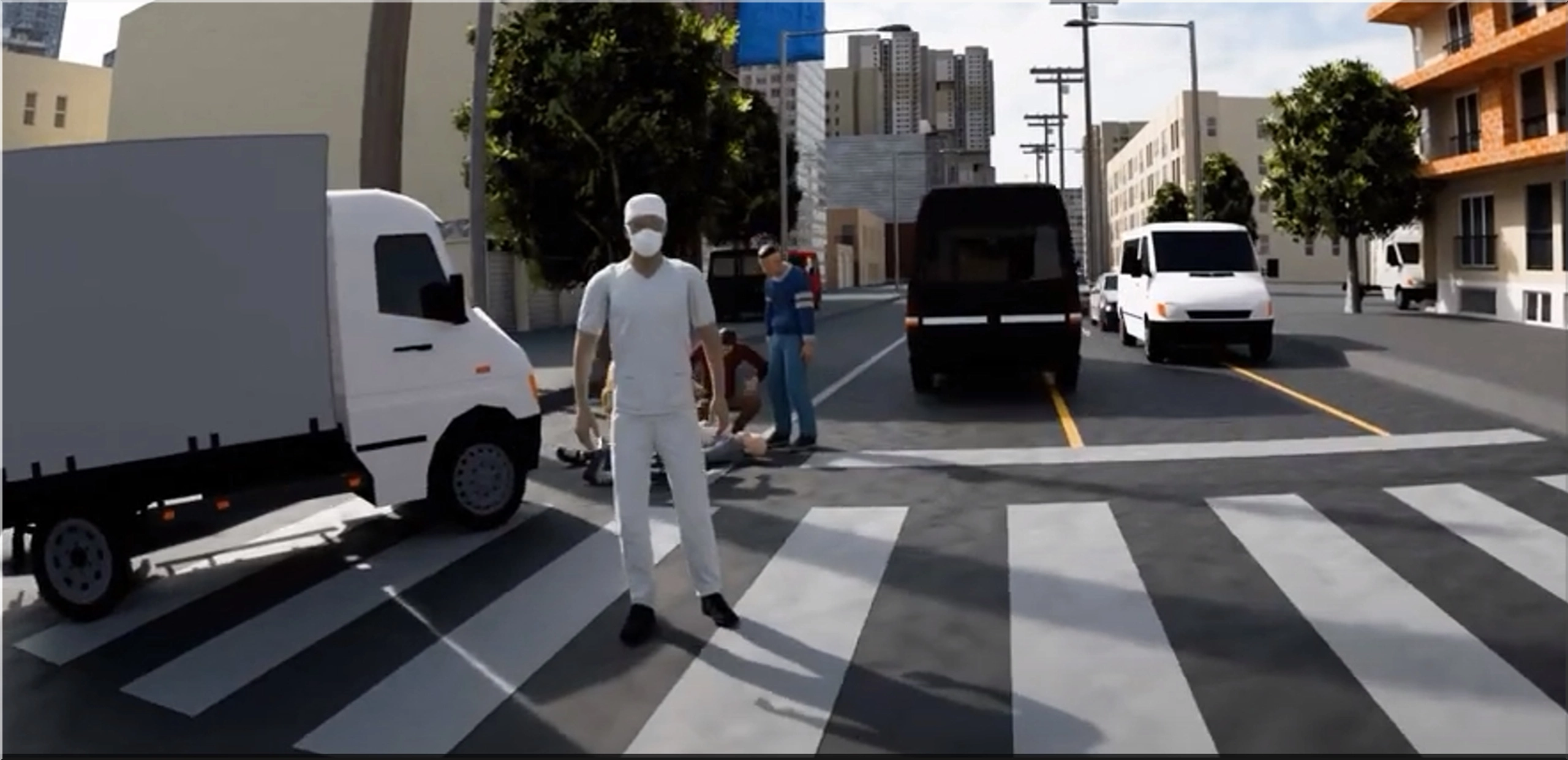
In 2023, Toyota Mobility Foundation (TMF) launched a trial in Itabashi Ward, Tokyo. Working with the Tokyo Fire Department, they equipped general-use vehicles with next-generation dashcams. These cameras gathered video data to simulate a real-time view of roads during emergencies.
Key features included:
- Wide-angle video capture of city roads.
- Automatic data uploads from dashcams when near fire stations.
- AI processing to analyze traffic and accessibility.
- Cloud-based visualization tools for firefighters.
Over time, TMF and the fire department improved response routing, reduced blind spots, and gained insights into traffic behavior.
Why Kyoto?
Kyoto’s dense city structure and frequent traffic congestion create obstacles for fire crews. Fire trucks must navigate:
- Narrow alleyways in residential neighborhoods.
- Crowded tourist areas.
- Construction detours and seasonal festivals.
To test the system in a contrasting urban layout, Toyota moved the project to Kyoto City’s Fire Department, known for proactive disaster planning.
How the Dashcam Project Works in Kyoto
Step 1: Data Collection from Everyday Drivers
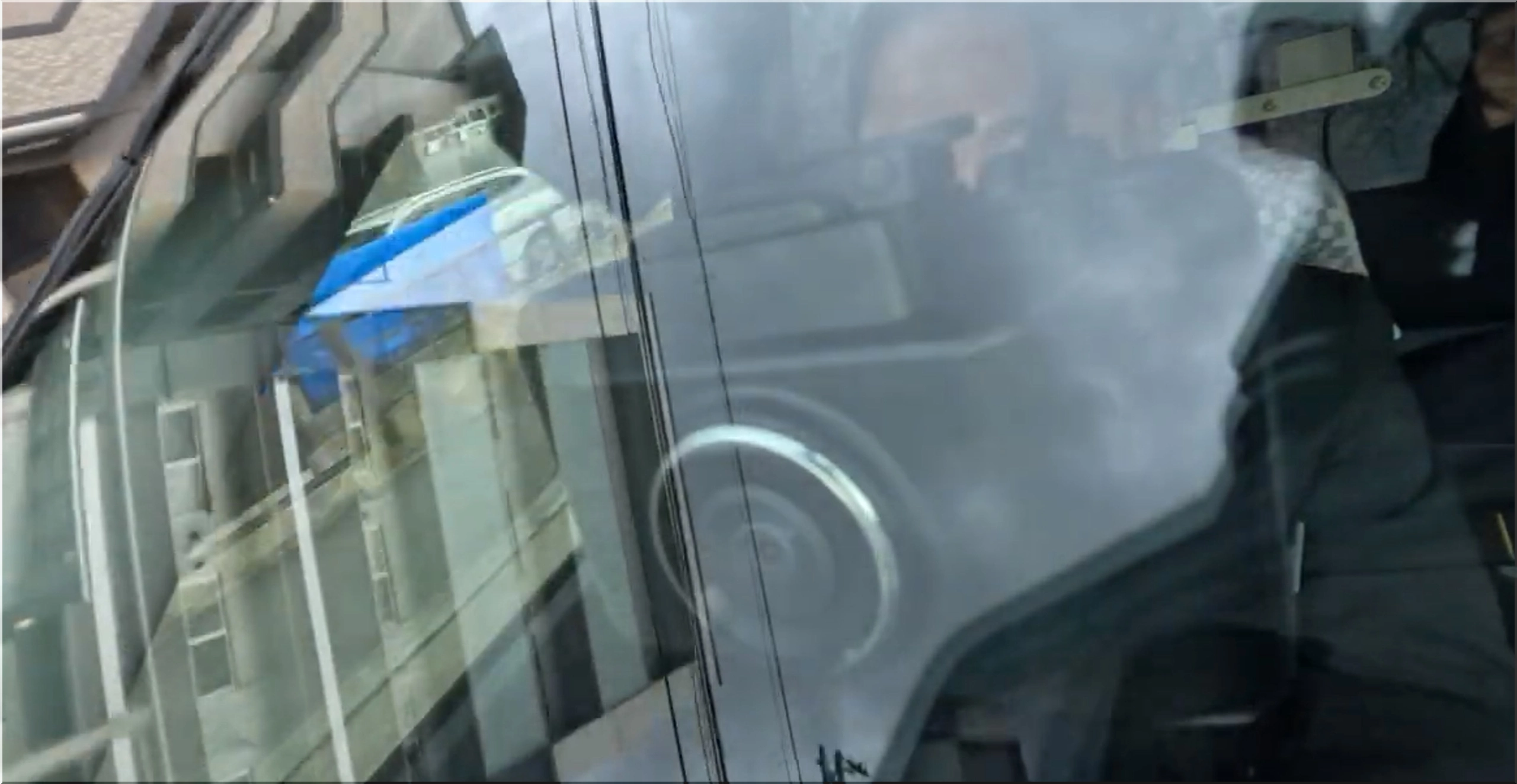
Toyota installs specially-configured dashcams in Toyota dealership vehicles or volunteer driver cars. These dashcams collect data during normal driving, including:
- Video of road conditions
- Timestamp and location metadata
- Traffic congestion patterns
- Obstructions like illegally parked cars
This raw data is encrypted and uploaded periodically via Wi-Fi near fire stations or secure mobile routers.
Step 2: Centralized Data Processing
Once uploaded, the footage is analyzed with Toyota’s AI algorithms to filter:
- Pedestrian traffic density
- Obstruction likelihood
- Road width accuracy
- Dynamic traffic behavior near intersections
The processed video is turned into real-time, map-based intelligence.
Step 3: Visual Data for On-Duty Fire Crews
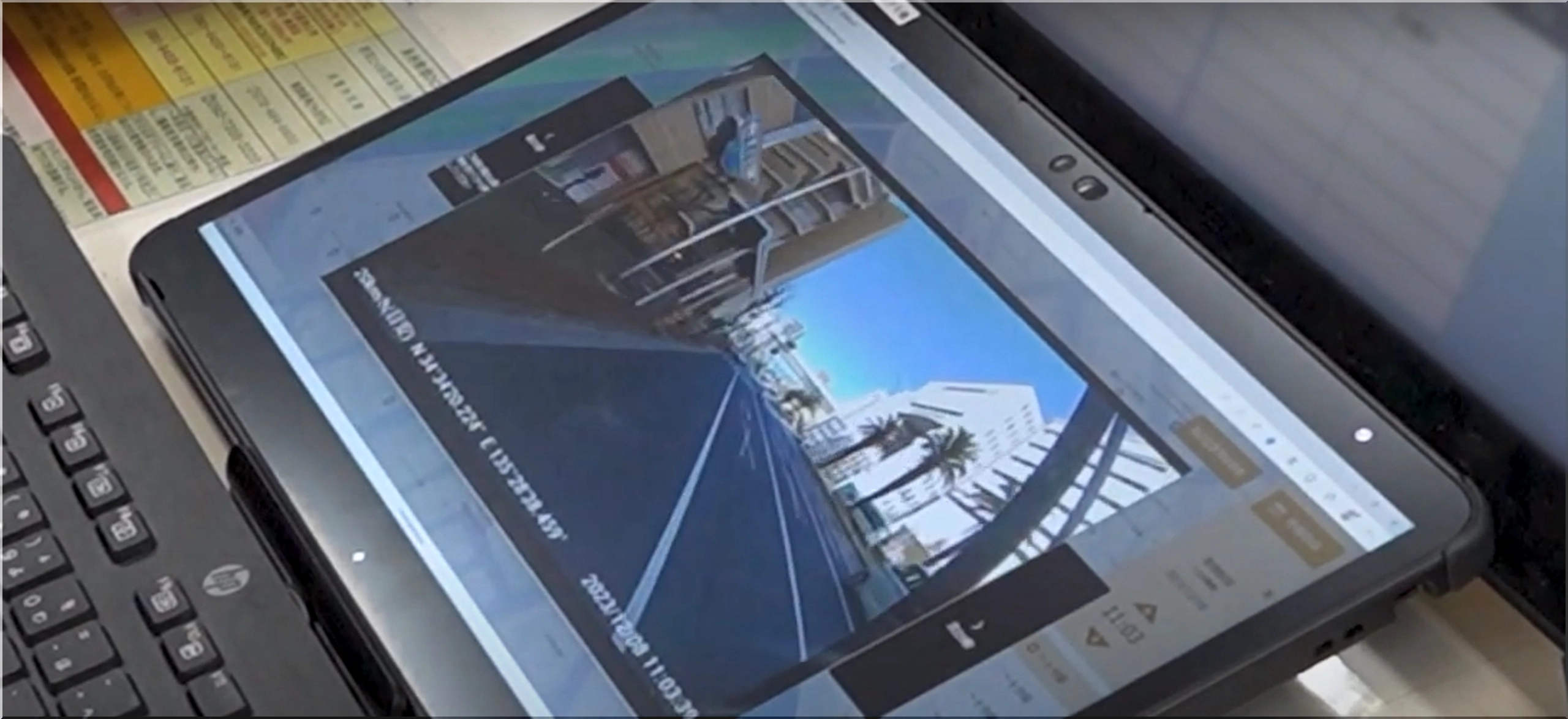
Kyoto firefighters use visual dashboards during live calls. Features include:
- Street-level previews of the expected route
- Recent footage timestamps
- Visual warnings of potential bottlenecks
- Map overlays for alternate paths
This reduces arrival time, especially during city-wide events like the Gion Matsuri.
Toyota’s Technology Contribution
Toyota’s Next-Generation Dashcams
The dashcams used in this project are custom-built. Key specifications:
| Feature | Specification |
|---|---|
| Lens | 170-degree wide-angle |
| Video Quality | Full HD (1080p) |
| Data Security | End-to-end encryption with tokenized upload |
| Power Source | Hardwired, ignition-based trigger |
| Connectivity | Wi-Fi + LTE module for remote sync |
| AI Capability | Real-time tagging and metadata creation |
Cloud Infrastructure and Visualization
Toyota Mobility Foundation provides the cloud infrastructure. This includes:
- Data warehousing for millions of video entries.
- Processing layers to filter relevant footage.
- Integration with municipal GIS systems.
- User interfaces for live map access.
Fire crews access this via tablets and dispatch terminals in firehouses or mobile command units.
Why This Matters for Emergency Services
Traditional Dispatch Challenges
Before this project, dispatchers relied on:
- Street maps, often outdated in fast-developing areas.
- Verbal reports from patrol units.
- Satellite imaging with a delay of hours or days.
Dashcam feeds solve these issues by offering:
- Fresh, timestamped video of key roadways
- Dynamic routing insights
- Automated flagging of new hazards
Faster Firefighting Response Times
By integrating dashcam intelligence, the Kyoto Fire Department can:
- Improve route accuracy by 25% during urban incidents.
- Cut response times by an estimated 3–4 minutes.
- Prevent route blockage errors from outdated maps.
National Interest in Scaling the Project
Toyota's success in Tokyo and Kyoto has drawn attention from:
- Osaka and Fukuoka municipal authorities
- Japanese Ministry of Internal Affairs and Communications
- Private insurance firms and logistics companies
Each group sees the benefit of combining vehicle telematics with public sector infrastructure.
If scaled nationally, estimates show:
- Over 5,000 fire engines could benefit.
- Annual savings of 22 million USD in reduced fuel and rerouting costs.
- National road intelligence maps updated in near real-time.
Future Outlook and Opportunities
Toyota sees potential to apply this model to:
- Ambulance fleets
- Disaster relief supply chains
- Urban planning departments
There’s also discussion about extending the model beyond Japan. Countries with high urban density and frequent natural disasters—like Taiwan, South Korea, or parts of California—could benefit from similar systems.
Potential Upgrades in Development
Toyota is working on:
- Thermal imaging dashcams for night detection
- Collision prediction sensors linked to firetruck systems
- Edge AI cameras that process data before upload
These advancements could make public vehicles even smarter.
Conclusion: Dashcams Are Becoming City Infrastructure
This Toyota-led initiative shows how consumer-grade technology, when paired with data science and public coordination, can improve safety outcomes. What began as a small pilot in Tokyo is quickly becoming a blueprint for smart-city firefighting.
Incorporating dashcam intelligence into fire department protocols enhances real-time decisions, shortens response times, and improves city-wide coordination—one video frame at a time.
- Add new comment
- 131 views